Part Two: So You Think You Know Who I Am?
A milky sky, a pensive day. The geologist, still concerned that I would leave the path to seek the rivulet, was not impressed that I was mapless, but I was in familiar terrain and wanted to intuitively feel my way towards the rivulet, maintaining all the while an awareness of the catchment. There were two rivulets to chose from, if my reading of the landscape was correct. The one I feel a certain attachment to, that heads down to Turnip Fields via Jacksons Bend and the one that Radfords and Fern Glade, two of my favourite tracks, keep company with. I chose the latter.
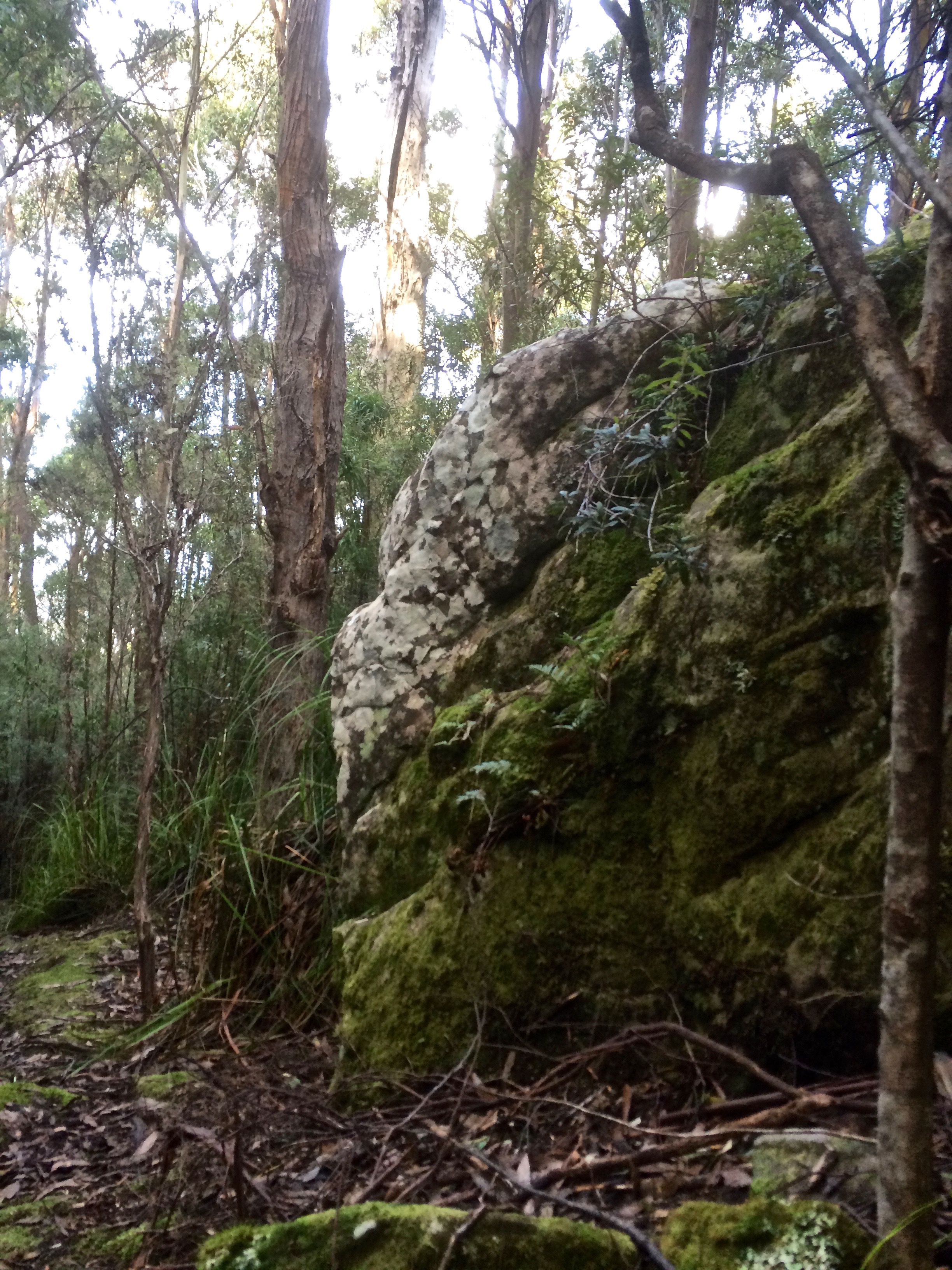
From The Springs I plunged down into the forest along Radford’s Track, conscious of the rivulet somewhere at the bottom of the slope to my right, and the sound I could hear, while possibly the rivulet, was really more likely to be the breeze soughing through the canopy. It was damp, the vegetation flourishing and aromatic with minty overtones. Occasionally there was birdsong.

I turned on to Reid’s track but ignored the turn off to Silver Falls because that’s in the Browns River catchment. I figured I was walking along a spur dividing the two catchments from each other and so I stuck with my choice, deciding to walk the full extent of Radfords the next weekend, more closely shadowing the rivulet. (And we did, slipping and sliding, initially, in the newly fallen snow at The Springs). Further down, where the trails diverge near the concrete reservoir covered in graffiti (despoiling the forest with a reminder of urban grit) I turned down the bitumen track the council workers use, enjoying the light south easterly and the quiet calls of small birds as I went from valley edge towards the rivulet itself.

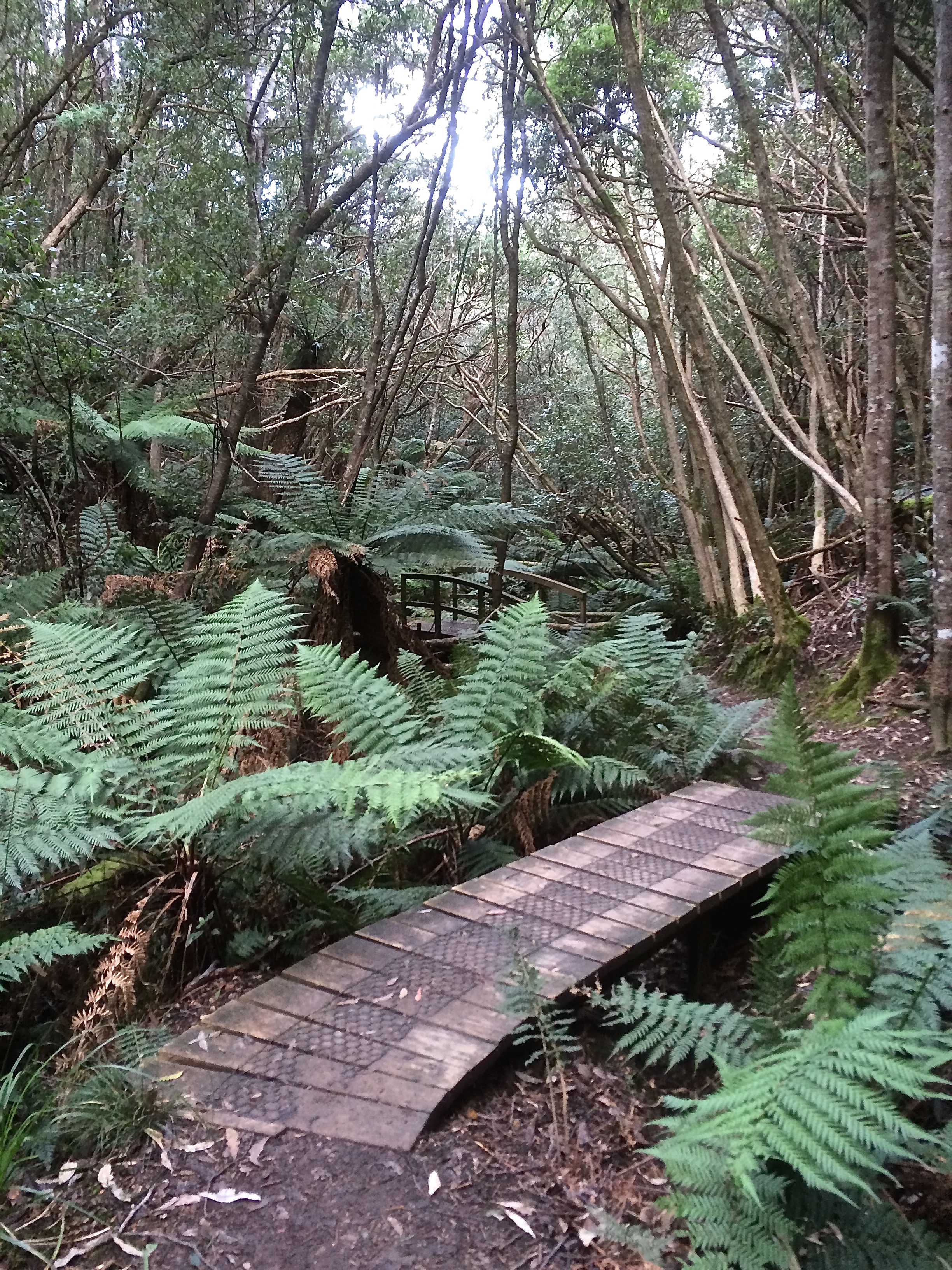
A mountain biker whizzed by, a friend passed at a jog and then I stopped to chat to a woman who told me, as though it was a perfectly ordinary thing to do, that she had walked the Overland Track more than 20 times. That’s massive! She talked about the enjoyment of taking a backpack and bushwalking alone for days at a time. I was so captivated by her self reliance that when I finally walked on, I took my more usual route and had to backtrack to the Fern Glade path beneath the high canopy with it’s dense understory of tree ferns through which the rivulet weaves, making its way beneath a series of wooden bridges. Often on this track light falls in luminous bands through the foliage. Despite the rain and snow we’d had, I’d walked some distance before I found the rivulet pooled in a puddle, and further down the soaked bed, a silvery trickle slipping modestly over the waterfall at the old quarry on Huon Road, a road originally carved out of the forest in the 1830s.

I would not know this until I finally picked up a map a few weeks later but the rivulet along the Fern Glade track is the Longhill Creek. At its confluence in Fern Tree it travels west. The actual Sandy Bay rivulet heads down Jacksons Bend and so I should have walked the leech track, (as I’ve done on other occasions) and defied the dangers of the copse.

In my ignorance, I began my next descent from within the tiny heart of Fern Tree, on the Pipeline track, passing old sandstone structures associated with the early supply of water to Hobart, cheering on the trickles of water trying to create new beds for themselves, noting the swish of a cyclist above me on Huon Road, and careful not to disturb two rosellas murmuring sweet nothings to each other in a eucalypt tree above my head. I co-own a yacht with a friend/neighbour and I co-own a copper beech with some neighbourhood rosellas. I looked up at them looking down at me and wondered if they are a part of that small flock that make a gentle rain of husks from the swollen leaf buds in the days before the new leaves unfurl.

On Hall’s Saddle the path crosses the road. I walked on into a dry sclerophyll landscape, heading for Gentle Annie Falls and the Waterworks Reserve. Finally I really was in the Sandy Bay Rivulet’s catchment and the real walk was just beginning.

Great photos
Thanks!