
Kunanyi
One Christmas when I was new to Hobart, my friend and I rode up the mountain, a long slow ride that kept me at eye level with some of its passing features and wobbling as I got distracted by the silencing view beneath us. The plants, the water dripping through the sliced soil at the road’s edge, the tall forests of eucalypts and rainforest species, the fragrant air and then in the alpine zone the sculpturally stunted snow gums and cushion plants, were hard and breathless work to get to know.
A rest at the summit, the chill, the distant view of the South West, the disorientating landscape of peninsulas and islands, most of south eastern Tasmania spread out about us, and then the exhilaration of sweeping back down its long flank on the narrow road, all the way back to the city.
The first beaches I’m exploring lie beneath the mountain, the usual term Hobartians use to name it up but when one day not so long ago I turned on to the summit road and saw the new kunanyi / Mt Wellington sign, I thought, quite simply, ‘YES!’
I’d almost forgotten Uluru was once Ayer’s Rock and frankly, for a massive mountain to be bequeathed the name of a mere mortal in a distant land, is an archaic notion. The mountain, through the Ice Ages and the Holocene and past the date of European settlement, carried many names (Unghanyahletta, Pooranetere and others), because there were different languages and dialects spoken here but in 2013, at a ceremony on its summit, the government announced its new dual naming nomenclature policy, a late acknowledgement that this land once had other more authentic and richer names than it currently carries.
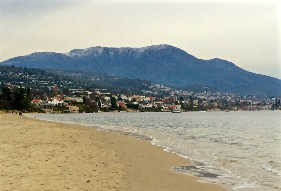
The mountain rises above the city like Table Mountain over Cape Town and although the foothills disguise this fact, kunanyi is actually the taller of the two. In February 1804, dissatisfied with the initial settlement at Risdon Cove, a small party landed at Sullivan’s Cove on the western shore. In a letter that month the Governor said there ‘there is a run of clear fresh water, proceeding from a distance and having its source in a rock in the vicinity of Table Mountain…’ (HRA 3,1 p 223 Collins to King 29 February 1804). Clearly a similarity between the two mountains, the way cloud snags on their summits, had been noted.
We think 100 years a lengthy span. Kunanyi took the Permian, Triassic and Jurassic ages to achieve its character. Geologists look at it and see a horst. For a sailor or explorer, like George Bass, who noted it in 1798, it’s a most significant landmark. The early settlers appreciated its water but took to soiling it immediately, used as they were to the sewers and drains of cities like London. Kunanyi had been seen as sacred, the relationship non-duelist, totemic, but Europeans put a higher value on utility and took its timber, stone, wildlife, plants and water. Non-duelist myself, I can’t begin to imagine the pain that those clans, pushed out of their own home, felt as they watched the earth they belonged to desecrated so wantonly. Had the new arrivals not been so Cartesian in their perspectives, words like threatened, endangered and extinct would, just maybe, not apply to Tasmania’s natural wealth like it does today.
Mountain fires, floods, landslides, eras, climates and species come and go and despite the recreational, weather and telecommunication structures on its summit, it’s still magnificent, sometimes so solidly present, sometimes ethereal, and occasionally in humid weather, like a dreamtime serpent, a long ribbon of cloud slithers through the valleys and wraps itself around the mountain, creating an atmosphere of mystery.
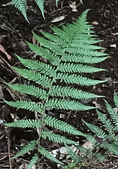
It has a secret night life, most denizens being nocturnal – the chorussing frogs, the sugar gliders, the wallabies, the boobook owl – and it has a diversity of plants, is criss crossed with paths and rivulets, studded with huts and waterfalls. In 1906 the mountain got a little more breathing space from people when it became a park. When you go walking, its best to be prepared because like so many mountains, it’s wild and can be tempestuous and even today has the capacity to snatch up lives.
This has been a cold winter and most unusually there has been snow on the summit almost every day. I’m looking at those snow flecked cliffs, the Organ Pipes, up at the peak. I know that around the corner The Lost World is also under snow. I’ve been sailing the river and walking the beaches, and making my plans to follow that rivulet whose catchment I live in, (with its tendrils starting above our home, behind it, in front of it and below it) from its accepted source at The Springs down to the beach at Sandy Bay.
And in walking the rivulet, I’ll also be walking kunanyi.

