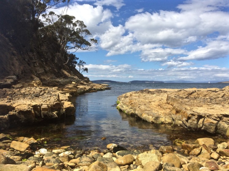
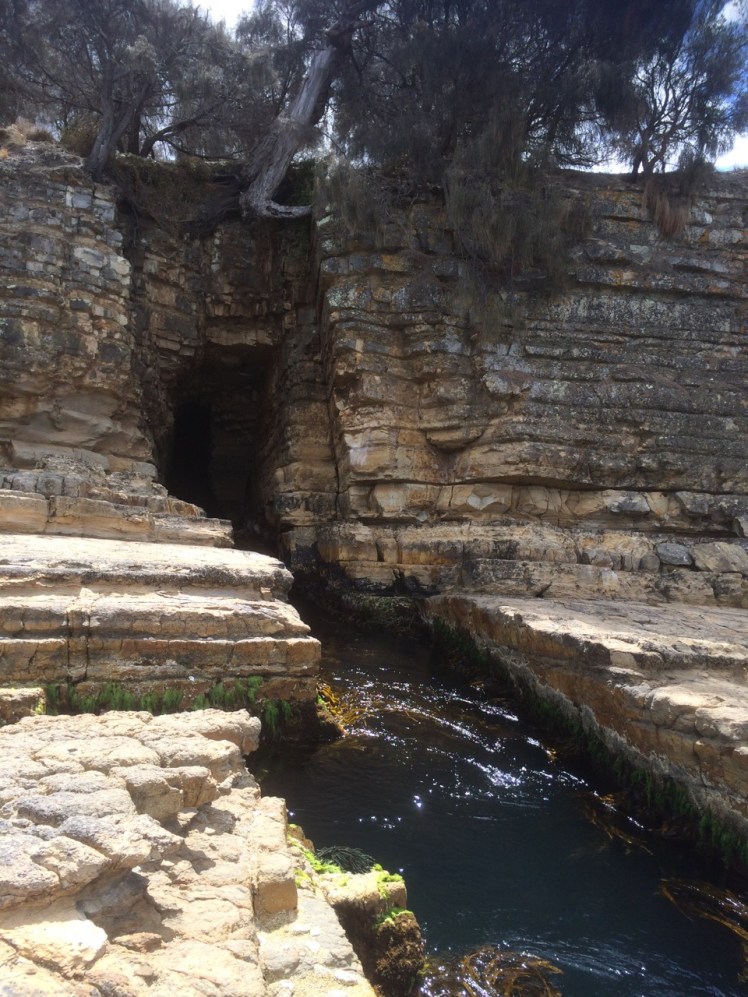
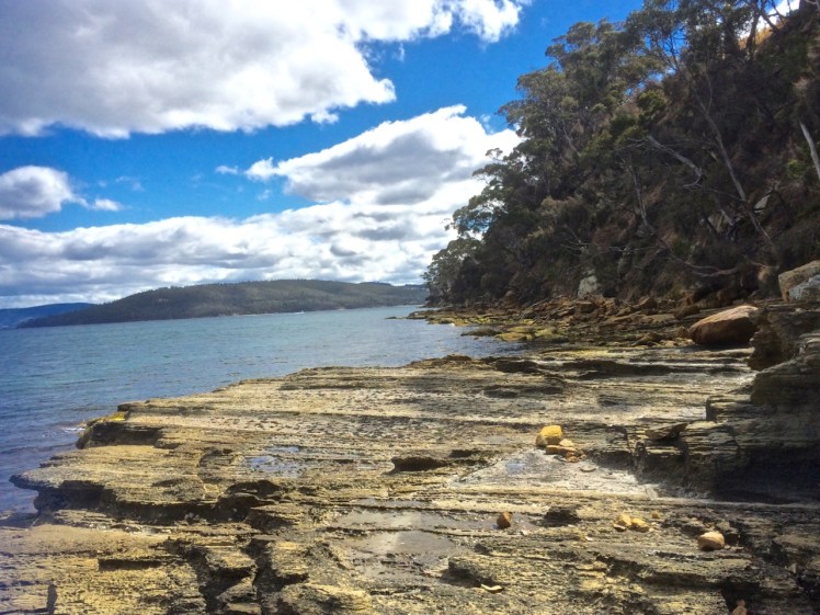
D’Entrecasteaux Channel: Tinderbox Beach History

Wrecks and Ancient Litter

A silver memento

Up on the hills, Tinderbox Peninsula is often so dry it’s pretty reasonable to assume that’s why it got this name, but the story is actually more interesting.

In the early 1800s Joshua Fergusson, who lived on the land just above the beach, saw a business opportunity and planted tobacco here with a view to supplying the local pipe smokers.

Joshua Ferguson
Land that once belonged to Joshua Ferguson – this house was once his barn, according to the interpretive panel at the beach.

One day he found a silver tinderbox inscribed in French, an indication that some thirty years before early French expeditioners, perhaps with Baudin, maybe with Bruny D’Entrecasteaux, had visited this beach and most likely made a fire, and stood around talking, perhaps exploring a little.  Maybe this tinderbox slipped out of someone’s pocket or maybe it was left on a stone and forgotten.  There’s also a chance that it had been traded or that it had washed ashore.  Regardless, it’s owner sailed home to France but the tinderbox remained in Van Diemen’s Land.

One day Joshua Ferguson came beach combing, picked it up, and thought, ‘I know – I’ll name this beach after it.’

Shipwrecks

Bruny Island may protect the channel from the vast fetch of the Southern Ocean but the wind can funnel up and down this waterway, aided and abetted by the hills and valleys, descending with rapid speed upon the unwary.

Tinderbox Beach lies close to the northern (Storm Bay) entrance and the gap between the island and Tasmania is particularly narrow and also shallower here. As a consequence, a few boats have been caught out and come to grief on its shore.

On 6 July 1822 a government vessel (name unknown) sailed from Hobart and capsized in Tinderbox Bay. Two men drowned.

On 21 May 1887 the Alice, a ketch, dragged her anchors and went ashore in Tinderbox Bay.

On 12 March 1925 the Rebecca, a ketch (but officially a ‘barge’), heading from Hobart to Strathblane, was overwhelmed off Tinderbox Point by a massive squall, blew out her mizzen sail and drifted on to the rocks. She’d been built by Thomas Inches and James McLaren further down the channel on the Huon River in 1853 and was owned by Edward Knight.

As a small group of yachts moor off just offshore, and as the channel is a popular place to sail, there have doubtless been more nautical dramas on this little beach.

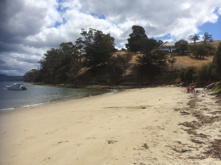
Back in 1948 the Government planned a vehicular crossing between Tinderbox and Dennes Point. This made sense – it was reasonably close to Hobart and this is, after all, the narrowest point.  But again a storm came raging and this put paid to that idea* and so  this beautiful spot (along with Nevada Beach on the Bruny Island side) remains intact – in fact, more so than most others as Tinderbox Beach was declared a marine reserve in 1991.

Pilot Station

Up above the beach and a little to to east there used to be a pilot station at Pierson’s Point.  This beach would have been a great adventuring place for the children living there, and for parents to relax or mess about in boats, in much the same way as today.   For more about life at the station, see Bill Harvey’s remembrances on the  Beach Stories page.

* Tasmanian Year Book – Issue 23 – Page 228

https://books.google.com.au/books?id=m_N9AAAAIAAJ, 1992.

Wrecks: Source http://oceans1.customer.netspace.net.au/tas-wrecks.html


D’Entrecasteaux Channel: Tinderbox: Crossing the Gulch

Tree and cliff at Tinderbox

I.

Walking With My Plank

In the company of a plank, meant to provide a way across the gulch so that I could wander the cobble beaches, I returned to Tinderbox on what was supposed to be a low tide.

It wasn’t.  That tide had firm tenure on the rocky platforms.  It was in fact so high the shore was sometimes unrecognisable and I could not even find the sea cave.  I did reach a cobbled beach and later, from the top of Pierson’s Point, I walked through bush to the cliff tops, seeking a path down to another cobbled shoreline but my bushbashing was entirely unsuccessful.

Actually, it transpired that I was 365 days late for that low tide. I had consulted the 2015 tide table by mistake.    Still, it’s not every day you walk out with a plank.  Strange to say,  it’s quite companionable and will lie down on slippery seaweed if you need it to.

Grange Beach to Karringal Crescent rocks

II.

‘Everything that arises is an invitation…’*

When I learned that Susan Murphy was leading a retreat on kunanyi I thought that  I would take this invitation to escape my cocoon of fatigue (jetlag & flu) and find my way back into a practice that includes the fine honing of awareness and attunement to the natural world.

I had been on the river for a few days in a row, servicing winches, cleaning the bilge, sorting out engine problems and flat batteries. Still, we’d managed a little break in all of this and had packed a picnic and gone up river in Samos, enjoying the quietude of sunshine on water in Shag Bay and exploring hidden beaches on the other side of the river, just north of Cornelian Bay.

Then I became mountain focussed, walking to the retreat along forest trails, through leaf litter and peels of eucalypt tangled on the mossy slopes.

img_1984
Eucalypt bark

For three days I absorbed the soundscape of the mountain. The kurrawongs are building nests; their conversation carried across the canopy. The frogs are seeking mates. In the pools outside the window they sang serenades. The wattle bird punctuated the silence from a eucalypt nearby, the rosellas called to each other as they flew between kunanyi and Chimney Pot Hill and the wrens held intimate conversations in the garden’s undergrowth. All this beneath a sky by turns cobalt and domed with cumulus transforming, and one turned grey, the raindrops falling quietly into the pools, repatterning the reflections of the trees all about.

During a break I sat down on a lichened rock in a part of the forest where I sometimes walk, enfolded in its deep and friendly silence, noticing the beauty of random scatterings of leaves, twigs and impressions in the earth, and the slightly anxious flight of a bumble bee. I must have sat for about ten minutes when a gentle trilling began to rise through the forest. This insectivorous chorus was one I had never heard before, and so neither had I experienced the way the forest seemed to attend to this shimmering music.

On a Bedfordia salicina - communities
Many make one: communities living on a blanket bush (Bedford salicina), kunanyi

It evoked that perpetual question, that one too big to have an answer: what is the secret life of the forest, what the mysteries of the river and the sea? What happens when we are not there to witness it?

Krishnamurti (2000), in All the Marvelous Earth asks

‘…what is beauty? This is one of the most fundamental questions, it is not superficial, so don’t brush it aside. To understand what beauty is, to have that sense of goodness which comes when the mind and heart are in communion with something lovely without any hindrance so that one feels completely at ease – surely, this has great significance in life; and until we know this response to beauty our lives will be very shallow.’

It’s a closed loop

And,

it’s an open invitation, because ‘medicine and sickness heal each other.  The whole world is medicine.  Where do you find your self?’ (Yunmen, 9th C China).

In effect, the extensive damage we have done grants to us an opportunity to develop a symbiotic ease in our relationship with the earth and bring about the healing change so urgently needed right now.


Robert Hass puts it beautifully: ‘We are the only protectors, and we are the thing that needs to be protected, and we are what it needs to be protected from.’**

* Murphy, S. (2012). Minding the Earth, Mending the World: the offer we can no longer refuse. Picador, Sydney.

**Robert Hass, as quoted in Murphy, S. (2012). Minding the Earth, Mending the World: the offer we can no longer refuse. Picador, Sydney.

D’Entrecasteaux Channel: Tinderbox Beach (475)

Ancient Ripples

Queensland man with little mate
Tinderbox Beach with jetty & Bruny Island across the D’Entrecasteaux Channel

The headsail was torn, the furler broken and so on that fine day last summer I found myself down on Tinderbox Beach as the seabreeze swooped in and the tide ran out.

This beach is small and beautiful, with a jetty, yacht moorings and the great bulk of Bruny Island protecting it from the worst of the Southern Ocean’s temper tantrums.

I walked east, past children playing on the sand and adults relaxing and on to the rocks, heading for the small cobbled beach below Pierson’s Point. I hadn’t gone very far when a man stopped me.

‘What’s over there?’ he said, sweeping his hand across the northern extent of Bruny Island. ‘More of the same?’

‘Not at all!’ I said and passionately described the unique qualities of Bruny Island. ‘Not to be missed,’ I concluded.

‘More of the same,’ he said morosely. ‘I think I’ll just climb in the back of my ute and have a sleep with my little mate.’

He was well set up. He and his travel worn blue heeler had driven down from Queensland rather quickly, then crossed to Tasmania on the overnight ferry which makes port on Tasmania’s north coast.  They’d then hurtled down the extent of the island to this beach at the southern end, all in one day.

Walking on beneath the cliffs, I found some beautiful rock platforms that were (at least to my untrained eye) tessellated. There are well known ones at Eaglehawk Neck but on my walks I was finding them in many more places. Soon I noticed a couple who had set themselves up in a small, sheltered corner and I stopped to ask how far it was possible to continue walking in this easterly direction.

‘Not far,’ they told me. ‘You come to a gulch that’s just too wide to jump. We’ve often thought we should bring along a plank to get over it.’

Looking north again from Tinderbox Beach
From the rocks at Tinderbox looking north into the Derwent River

It wasn’t long before I came to that gulch. I had paused at many rock pools along the way – amongst the most beautiful I could recall seeing in Tasmania – but this gulch was exceptionally dense with beauty – kelp and a variety of other bright seaweeds. I regretted leaving my rocky shore guidebook at home because quite clearly a person should never visit a marine reserve without one.

Seaweeds at Tinderbox

The gulch was just too wide for me to jump. The pebble beach beneath Pierson’s Point was simply unattainable, at least today.

The other exquisite thing about the gulch was that it led into a small sedimentary sea cave. The rocks at its base and under the water had a shimmery pink glow. Right at the end of its deep resounding depths, small cobbles had been pushed up in a pile by the water, which was just deep enough to deter me and so I took a seat at the entrance of the cave and listened meditatively to what it had to say; and taped its voice.

Seacave and gulch at Tinderbox Beach
The sea cave

I could have sat there all afternoon, listening to that gurgling water resonate in the cave but eventually I roused myself and walked back, climbing the cliff and finding that it ended up in someone’s garden. The man who had given me directions was now alone. We discovered we had mutual friends and I told him about the places I’d been and what I’d seen along the coastline and how puzzling the paucity of nomenclature was. We were standing on Mouheener land – they’d once enjoyed the bounty of the Derwent’s western shore, the Channel and Bruny Island. He thought the Aboriginal tribes probably named significant spots on the landscape for people in much the same we so frequently name them but I shared my different perspective, that places are named in accordance with long held myths, that the landscape is redolent with story but has lost its voice and then I walked back along the rocks, wishing I’d brought a plank with me.

The blue heeler was not asleep although his big mate was. We acknowledged each other and then I crossed the beach and walked westward, bound for North West Bay.

Tinderbox Beach with swimmers.jpg

Swimmers told me the temperature was not too bad and in fact, that summer, the waters around Tasmania experienced heatstroke, their highest temperatures ever, the East Australian current extending further south than usual and bringing with it fish from warmer climes.

Rocky platform west of Tinderbox Beach.jpg
Rocky platform west of Tinderbox Beach.  Looking into North West Bay (right)

I had the rocks to myself. The sandstone cliffs were photogenic. I was able to walk almost to the point where North West Bay begins – but not quite. Still, I was satisfied to have discovered that kayaking along here was likely to be rewarding, and so after studying the ripple marks of ancient beaches etched in the surface of ancient sandstone I followed the sea breeze back into Hobart, feeling exultant.

Tinderbox Beach

Historic photograph of this view is at https://stors.tas.gov.au/AUTAS001124067968w800 – View of Tinder Box Bay, the northern part of D’Entrecasteaux Channel Residence of Joshua Fergusson Esq. Walter Synnot.