South Arm Peninsula: Goat Bluff, a fundamental question and a couple of secrets

… what is beauty? This is one of the most fundamental questions, it is not superficial, so don’t brush it aside. To understand what beauty is, to have that sense of goodness which comes when the mind and heart are in communion with something lovely without any hindrance so that one feels completely at ease – surely, this has great significance in life; and until we know this response to beauty our lives will be very shallow. One may be surrounded by great beauty, by mountains and fields and rivers, but unless one is alive to it all one might just as well be dead.
~ J. Krishnamurti

On Being a Goat
It may seem strange that I’ve included Krishnamurti’s quote at this point in my blog, because the bluff is unassuming, easy to hurtle by without noticing, and yet it has a certain sense of poise gifted by its location in the landscape between two capes so that, had Krishnamurti, a great nature writer, found his way here, I’m sure he would have taken his seat and looked out at ‘all the marvellous earth’, the hills and the valleys interleaving themselves, and perhaps, while contemplating this magnificent coastline he might also have reflected on human nature – how we are so often goats, with at times, a certain poise, when we make the effort.
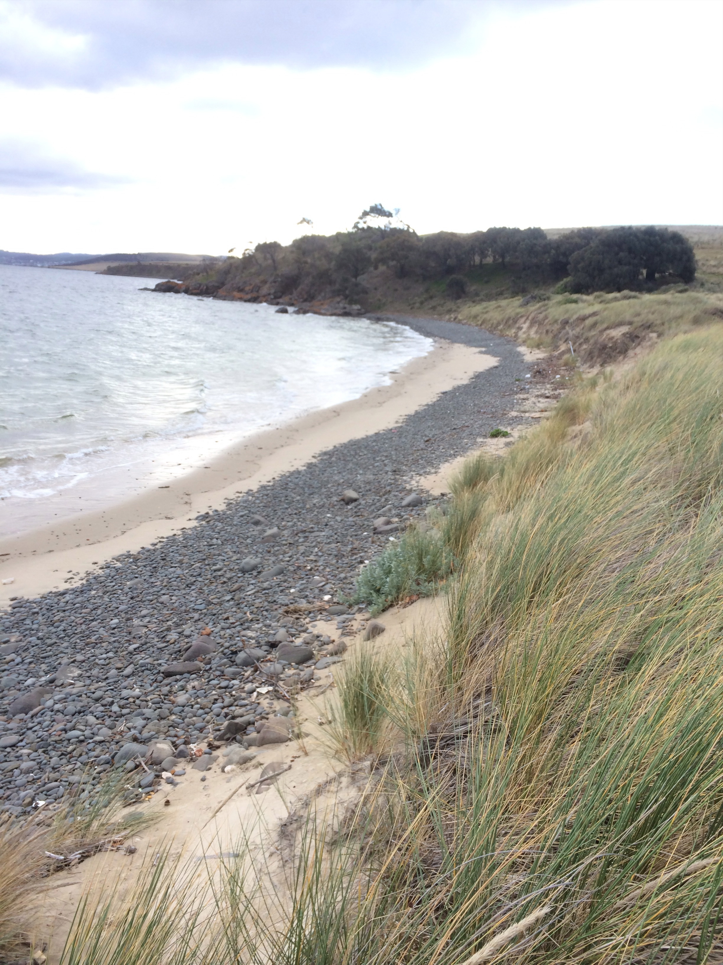
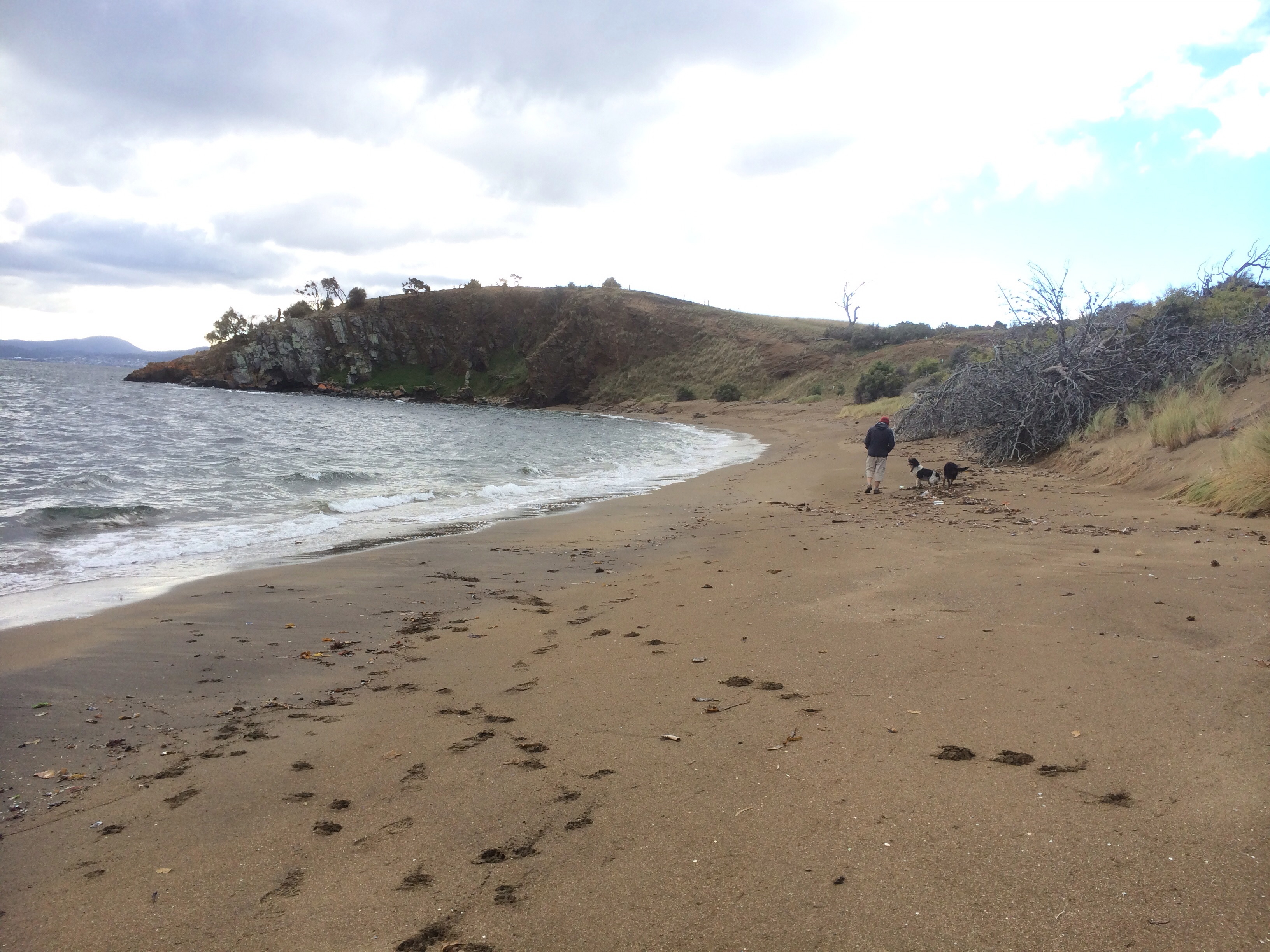
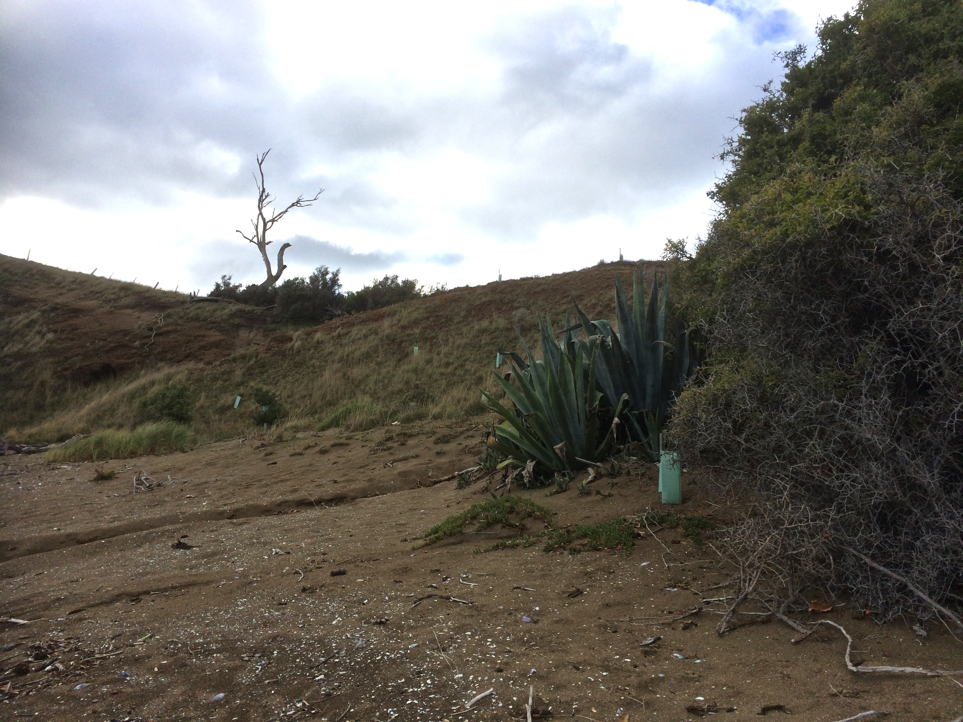
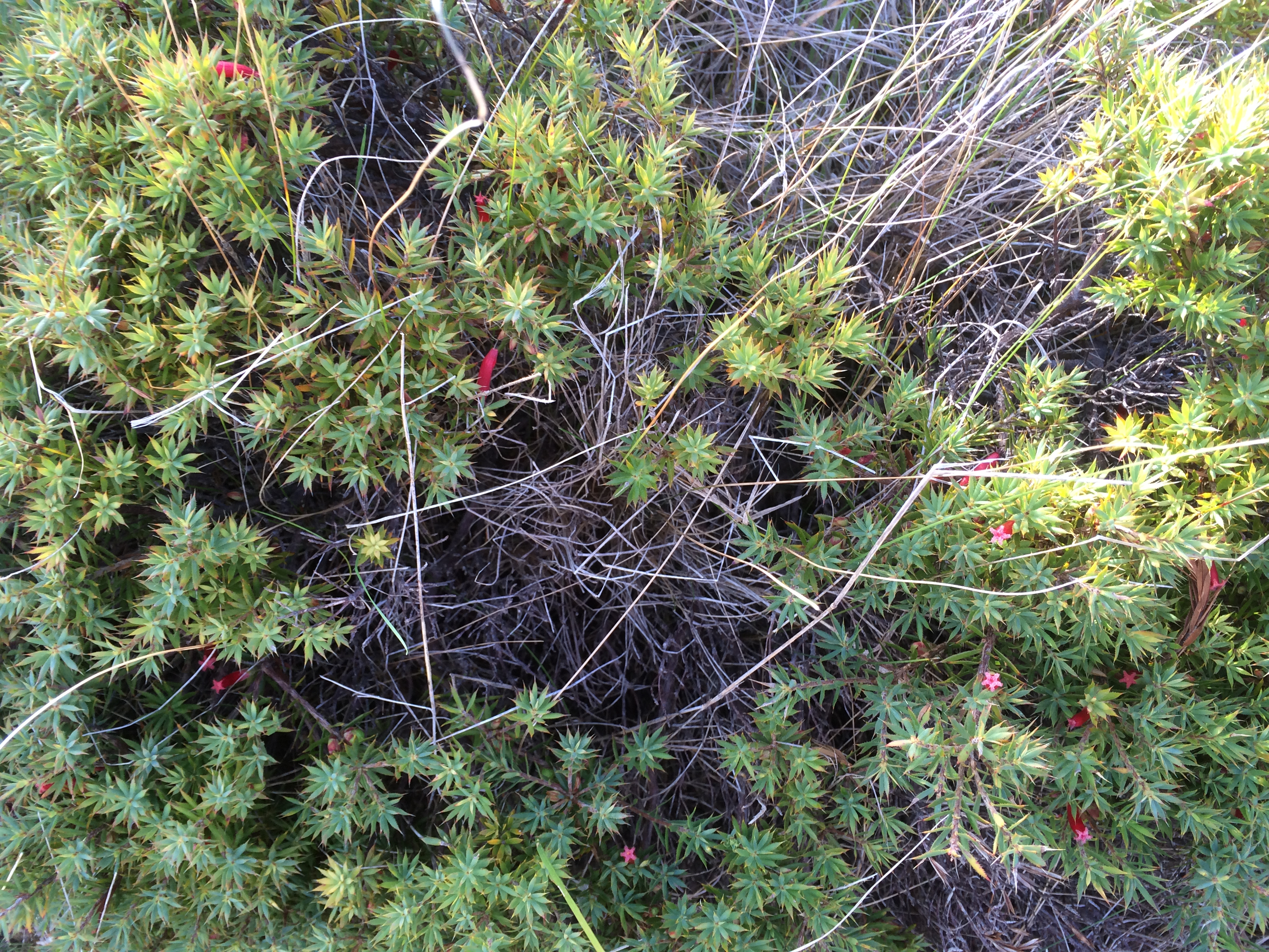
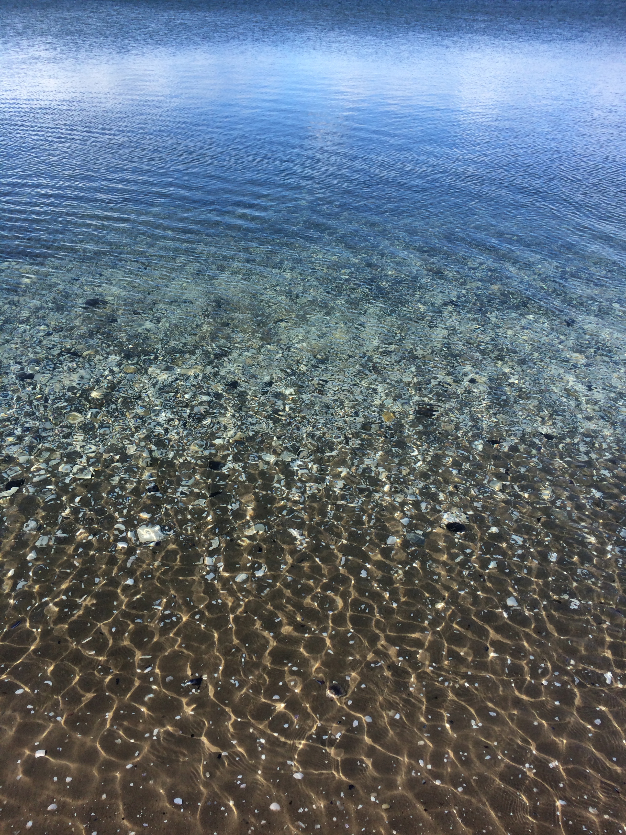
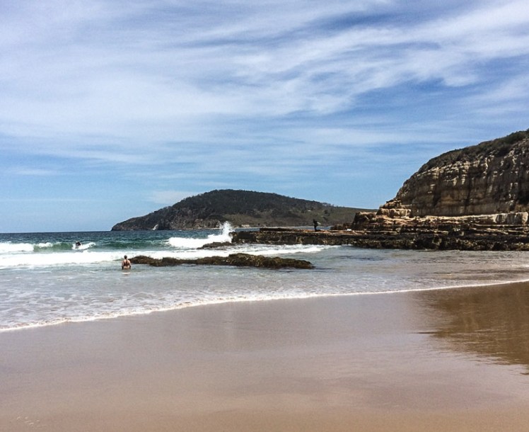
Those who appreciate beauty come here at night to star gaze and to wonder at the auroras. In daylight hours, as the sky’s moods play out over the landscape, colours shift transferring the mood of the sky. At this junction of ocean, land and lagoons the biota is rich, the birds are various, the native coastal vegetation still reasonably intact. Surfers carve the breakers; below the cliff to the east is a break called Rebounds. Goats and Wedge are breaks to the west. And from these 30 m high sandstone cliffs you can walk west along Hope Beach (aka Roaring Beach) to Cape Direction or you can go east down Goat Bluff’s flank to Calverts Beach for the walk to Cape Contrairety, or angle slightly inland to circumambulate Calverts Lagoon, binoculars around your neck, field guides in your rucksack.
The bluff also provides access to the north. Just cross the road and go west along the isthmus – but think seriously about this – the birds love this thin strip of beach beside the bitumen so it’s unkind to intrude. Perhaps rather choose the meandering track (far more rewarding) along its eastern shore.
Or simply play it like Krishnamurti and make your mind like the sky by lingering on the bluff with its sense of poise drawn mostly from the fact that it is the divide between the Arm End beaches and the sweep of coastline to the east.
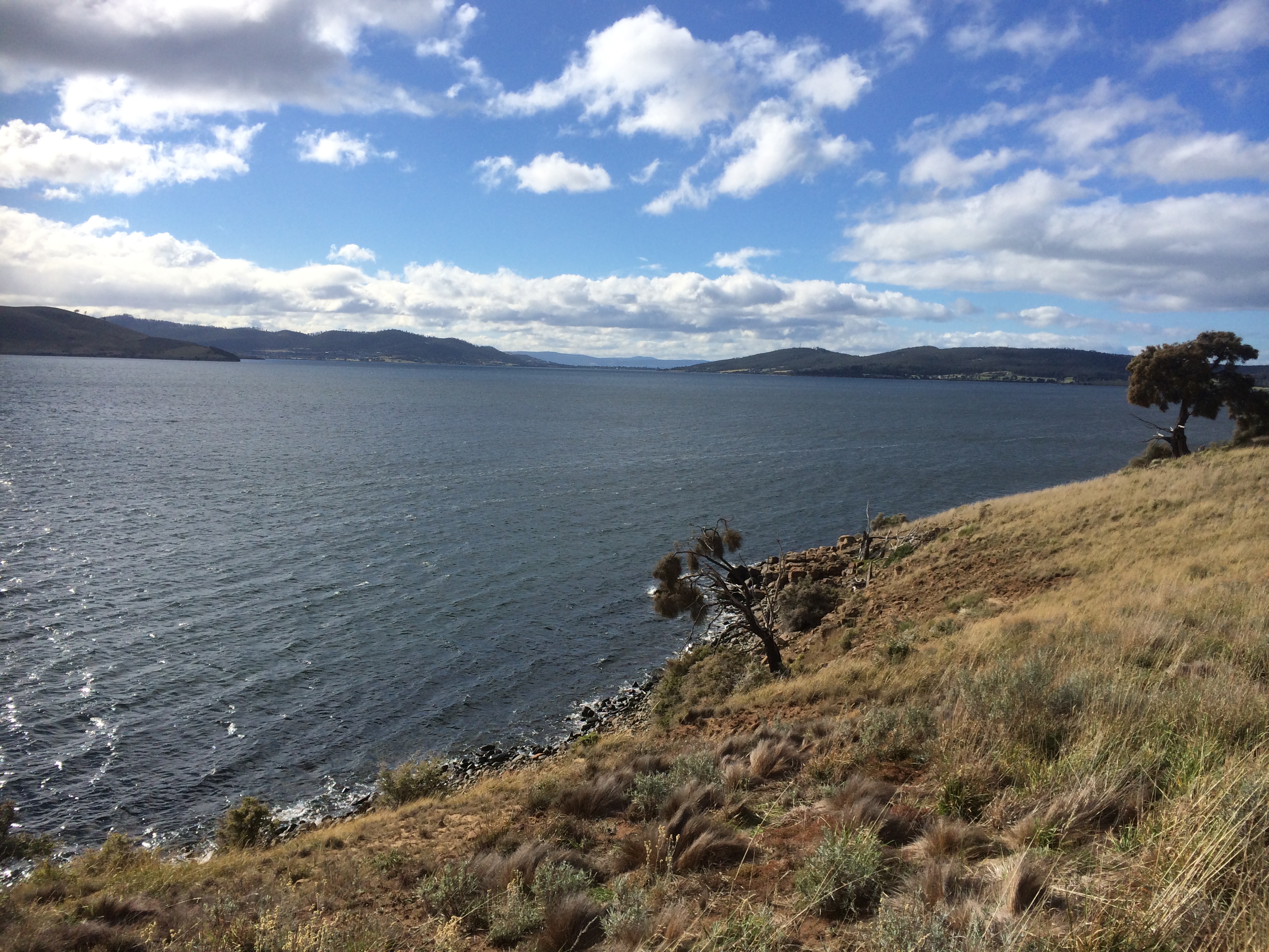
In other words, don’t think for one moment that Goat (also known as Goats) is an isolated bluff simply there as a carpark, or a dislocated remnant scrap of reserved native vegetation. The road behind assumes more importance than is warranted. Instead, imagine that you are Nuenonne, that slash of bitumen not there yet and see instead Colin Springs Hill descending gracefully down to the bluff’s sandstone rampart, uninterrupted. Before you there’s a valley, drowned by the ocean that extends down from that rampart and out to Betsey Island, with a dune trapped lake to your right behind Hope Beach, the drowned valley that is Ralphs Bay behind you to the north, a pooling of water in Calverts Lagoon and Pipe Clay Lagoon at Cremorne behind you to your left.
Goats Bluff. A small band of Nuenonne. Shearwaters wheeling on the night sky, and then the aurora.
Goat’s Secret, Hope’s Secret and Betsey’s Secret
Goat Bluff has two secrets.
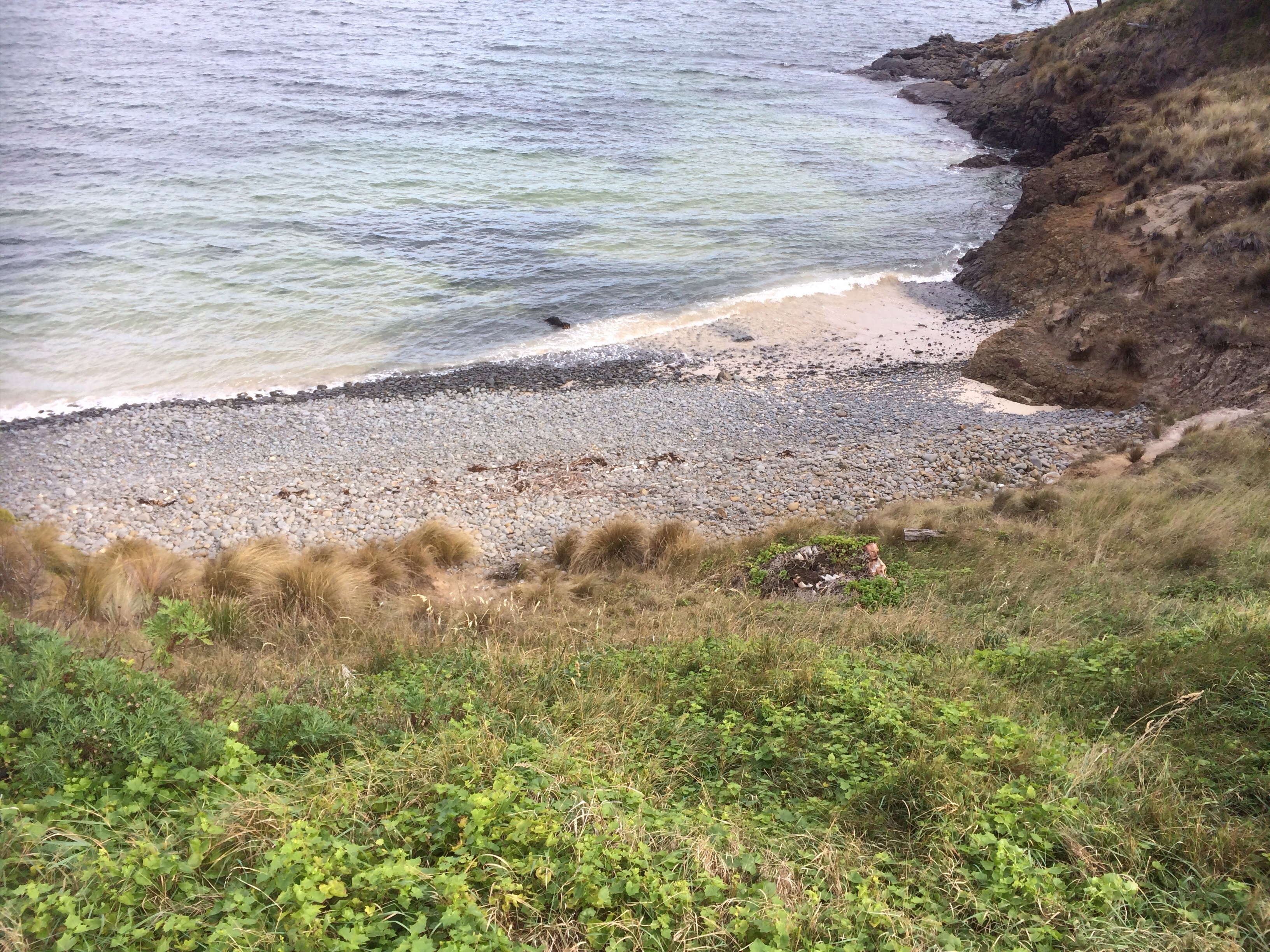
The first is a beach (T412 (Short, 2006)).

Short describes it as ‘a 60 m long pocket of rocks and sand set in a gap in the centre of the bluffs and immediately below the lookout. The beach consists of high tide cobbles and boulders against the base of the cliffs, then a sandy 100 m wide bar with rock outcrops that fill the gap. Waves are lowered to 1 m at the bluff owing to sheltering by the island and rocks and break across the bar with a weak rip usually flowing out against the western rocks.’
He says there is no safe access to this beach. To try would be dangerous. So please don’t.
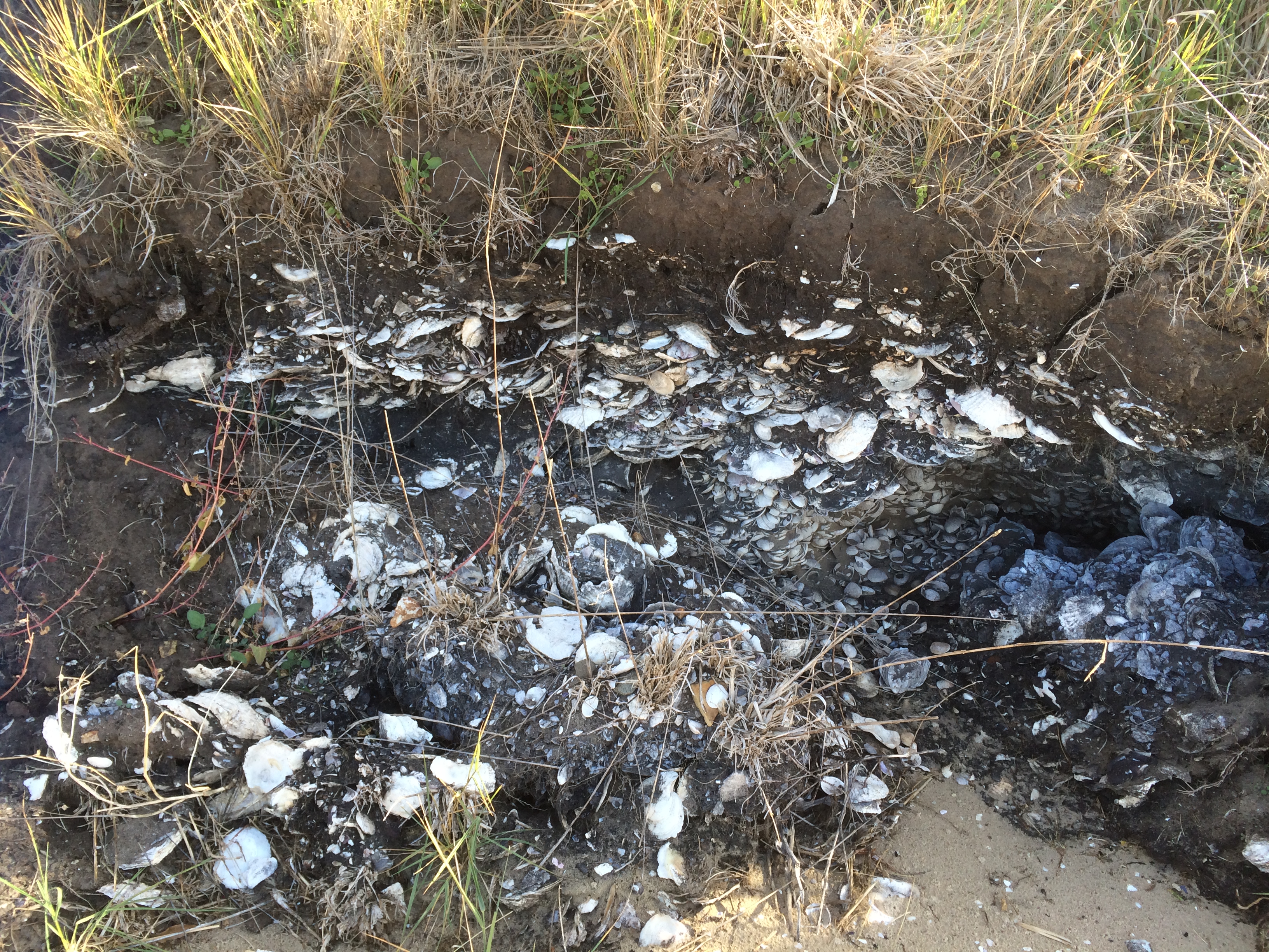
I was surprised to discover another secret on the On the Convict Trail blog: ‘Nearby [to Piersons Point] Goat Bluff was also the location of further underground tunnel systems [associated with the Derwent’s system of battery defence]. But Goat Bluff isn’t near Piersons Point, which is on the western side of the Derwent’s mouth (although distance is relative, I guess) and so I was sceptical until I saw this fact repeated on the South Arm History site. The Fort Direction page by Maurice Potter states ‘at Goat Bluff there are still the remains of underground trenches that were built at that time’ [WWII] and I also discovered on this page that ‘as many will remember, most of the beaches and the hillsides of South Arm were covered with barbwire entanglement and this remained so for some years after the end of war.’ (Potter, n.d.)
Betsey’s Secret
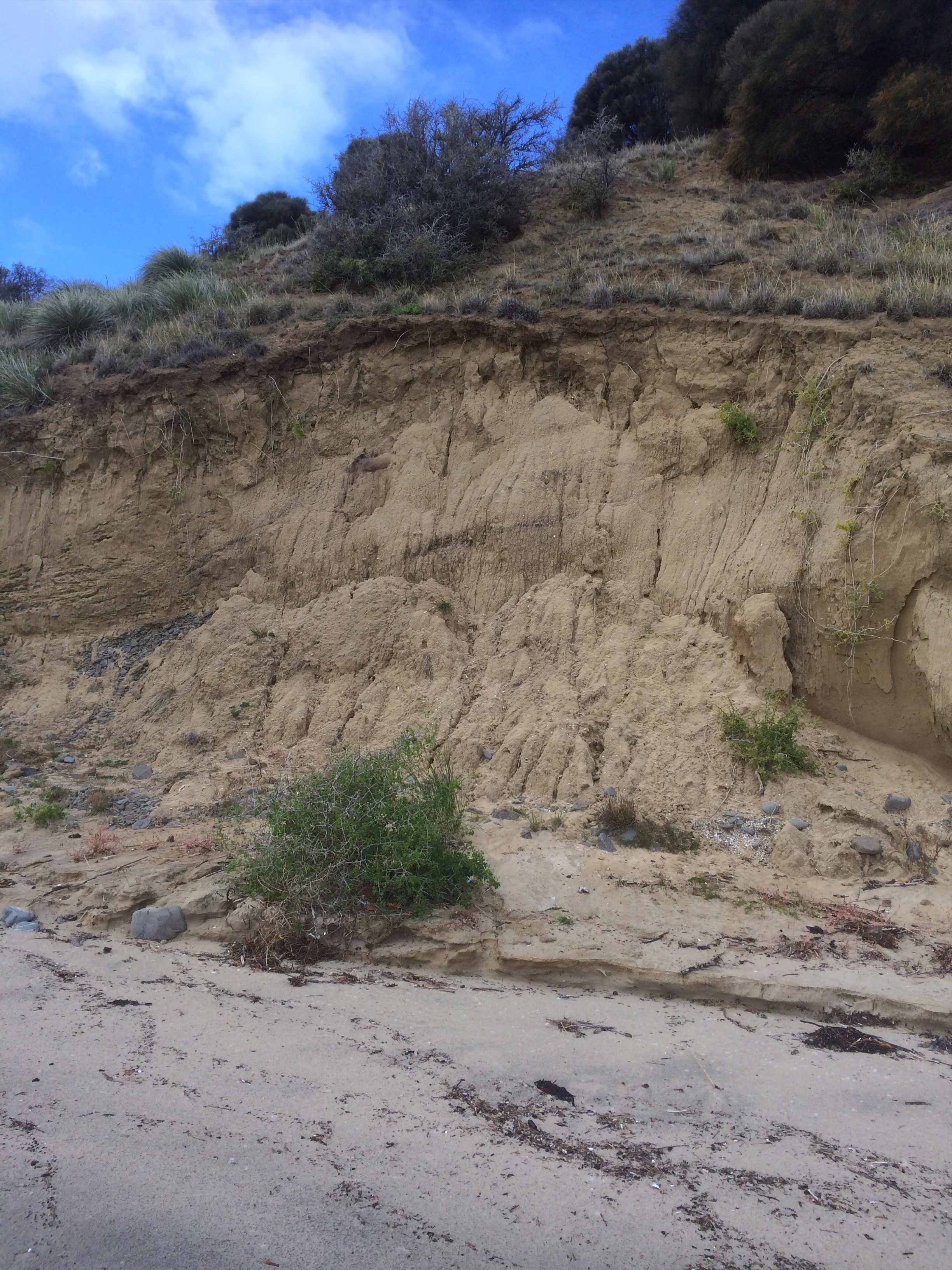
Sitting on the bluff contemplating the landscape you might naturally suppose that Betsey Island is made off the same stuff as the bluff, but you would be wrong. Black Jack Reef and Goat Bluff are sandstone / siltstone but Betsey declares its difference by being Jurassic dolerite (Leaman, 1999). It shares another secret with Hope.
Hope has even more compelling secrets
And as Goat Bluff overlooks Hope here they are.
The first is the precise whereabouts of the wrecked ship, the Hope, that gives the beach its name (Leaman, 1999).
The next secret really belongs to the general vicinity near Hope because between Betsey and the Derwent Light mysterious compass deviations first noted by Mathew Flinders are now assumed to be caused by volcanic necks on the sea floor – and according to Leaman (1999) may possibly have caused the Hope to wreck in the first place.
But here’s the best secret. Eons ago the complicated Derwent entered Storm Bay through the South Arm isthmus, which now blocks it. The best part of this secret is that it seems to have done so through ‘a gorge [now] filled with more than 200 metres of clay, sandy clay, sand and gravel [that] lies hidden from our view…’ (Leaman, 1999).

A mountain. A river. A bluff. They may seem so enduring, but I think all nouns are simply verbs in disguise and everything a process.

Sources:
Leaman, David. 1999. Walk into history in Southern Tasmania. Lehman Geophysics, Hobart
Short, A.D. 2006. Beaches of the Tasmanian coast and islands. Sydney University Press, Sydney.