Thomas on Fire!
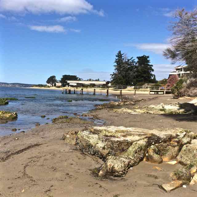
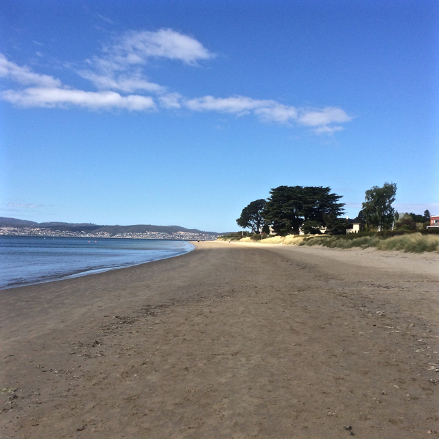
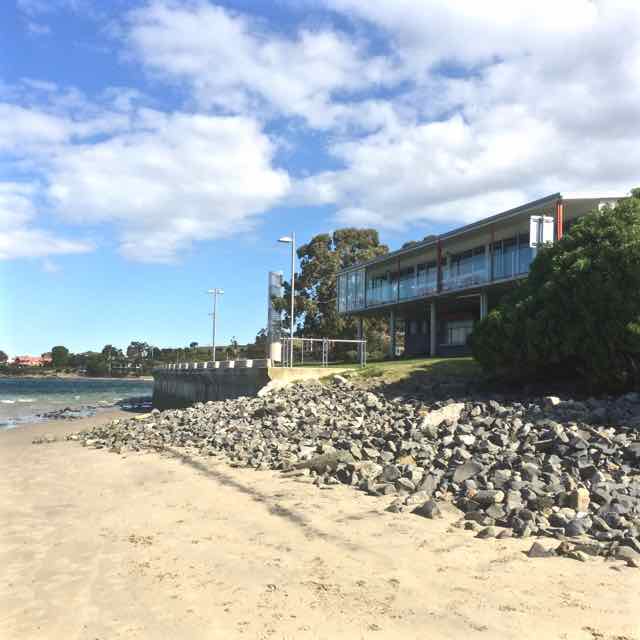
Two beaches radiate from unassuming Sandy Bay Point: Nutgrove to the north and Long Beach to the south, with green and leafy Sandown Park fanning out behind the point. The Sandy Bay Sailing Club is prominent above the dunes. It, along with its parking area inhabit the dunes and the area behind them. Last summer a creative French traveller parked his colourful van here and settled in, just one of the travellers passing through in their camper vans, their tenures normally much briefer affairs.

The day I walked from Lords Beach to Sandy Bay Point I had Hobart’s early regattas and yacht races in mind along with that first horse race (see post on Nutgrove). In the early years of the colony Nutgrove was a wider beach and on this particular day I got a clue as to what it had once been like because as I walked around the Red Chapel cliffs and found the little cove the birds have been gifted I saw that everything about the beach was different. It was wider than I think I’ve ever seen it before and at Sandy Bay Point, where beach access at high tide is often not possible except over the fragile dunes, there was a surprisingly generous sweep of sand. I was so deeply absorbed in the past that it was almost unsettling that no horses hurtled around that corner as they did back in the early 1800s when local accents were different, dresses were long and riotous parties were a part of the regatta and racing celebrations – to the point that Sir John Franklin (of North West Passage fame and, locally, as the Governor) put a stop to the regattas below Government House because there was too much unruliness and litter. James Kelly, chair of the Regatta committee (who’d circumnavigated Van Diemen’s Land and discovered Port Davey), moved it to Chaffey’s Point (today’s Wrest Point). Mr Chaffey made a killing at his pub – and Sandy Bay Point featured more strongly in the races.
Sandy Point, back in the 1800s, had smuggling coves to the right of it and smuggling coves to the left. The little rivulets – Waimea, Maning and Lamberts, for example, provided access routes for getting smuggled grog up into the bush but the inns along the coastline were conveniently located for receiving rum and other spirits from the ships anchored offshore too.
One of these ships was the Thomas. One dark night in 1833 Captain Hanley anchored off Sandy Bay. He’d cut deals with the smugglers, so his pockets were full and likewise the longboats were all weighed down as the smugglers rowed back into the coves.
Later that night the Thomas went up in flames and the fire raging on the river lit up the sky, mesmerising those awake on shore and ‘looking almost splendid’ according to an onlooker. Hanley and three other crew members were the only ones on board at the time. They jumped into a longboat and set off for the shore but because the fire seemed contained to the stern they returned for another look, while two boats, the Mary and the Stakesby came slowly to their rescue. As they stood near the poop the fire reached the magazine and their was a massive explosion. In the little farm houses along the coast people asleep in their beds shot upright and got to experience an unanticipated fireworks night. Somehow the sailors escaped with their lives.
‘At eight o’ clock on the Sunday morning the dying Thomas was towed burning to nearby Sandy Bay Point where she grounded in about five feet of water and continued burning through the Sabbath with crowds flocking to Long Beach to view the spectacle. (Goc, 1997).
Suspicion over who’d started the fire swirled through the community and over the ensuing days what was left – casks of rum and casks of salt floated on the water, easy pickings for the opportunistic.
The Thomas stamped its presence on the point, predating the ‘boat park’ with its pirate ship in Sandown Park. In fact, in 1880 ‘H’ wrote ‘…anyone walking now along the beach at high water past Murdoch’s fence would hardly believe that the ship Thomas which was wilfully burnt about 1831, and was beached at Sandy Bay Point, was available to ramblers at low watermark. Many a time I have with my young companions mounted the ribs of the old ship, which stood on the sands, a place which to get at now would be in 20ft water.’
It’s a whodunnit without an answer. The fire may have been caused by a smuggler dissatisfied with his deal, a mutinous crew member or, for all we know, the captain himself.
Source: Goc, N. 1997. Sandy Bay: a social history. Gentrx Publishing, Hobart.


Approaching Sandy Bay Point: the path over the eroding dunes


This was such a well written post that brought to life so many aspects of that area. Marvellous! And the photos expanded the story so well.
I’m loving the combination of geography and history your blog is providing – thanks.
Thanks, No Visible Means!